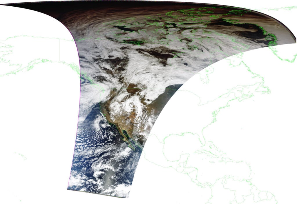
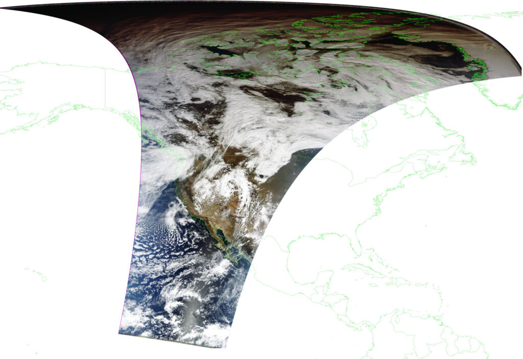
SatDump is a popular program that is used with RTL-SDRs and other SDRs for decoding transmissions from a wide array of weather satellites and their various imagers and sensors. Recently SatDump's author @aang254 has been working on improving the way projections work. Projections are essentially when the weather satellite image is stretched and skewed to fit correctly over the curved earth.
This means now that city markings and border lines should show up in the correct placed in any images received from SatDump.
If you're interested @aang254 has uploaded blog post on the SatDump website explaining the math, algorithms and problems he found when trying to get projections done right.

